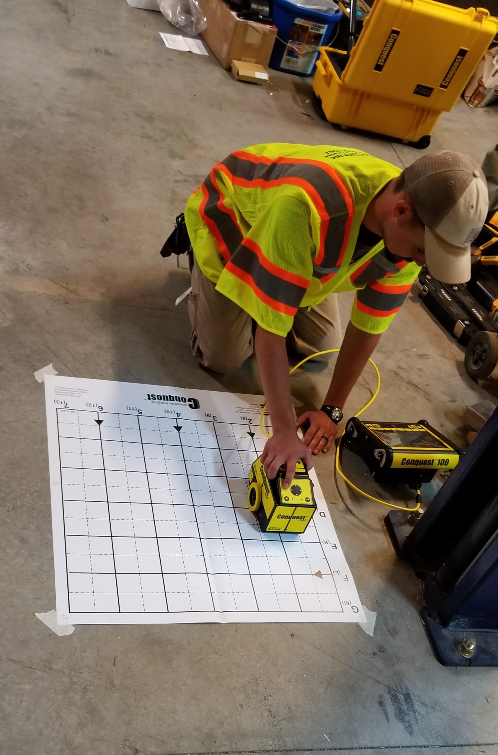
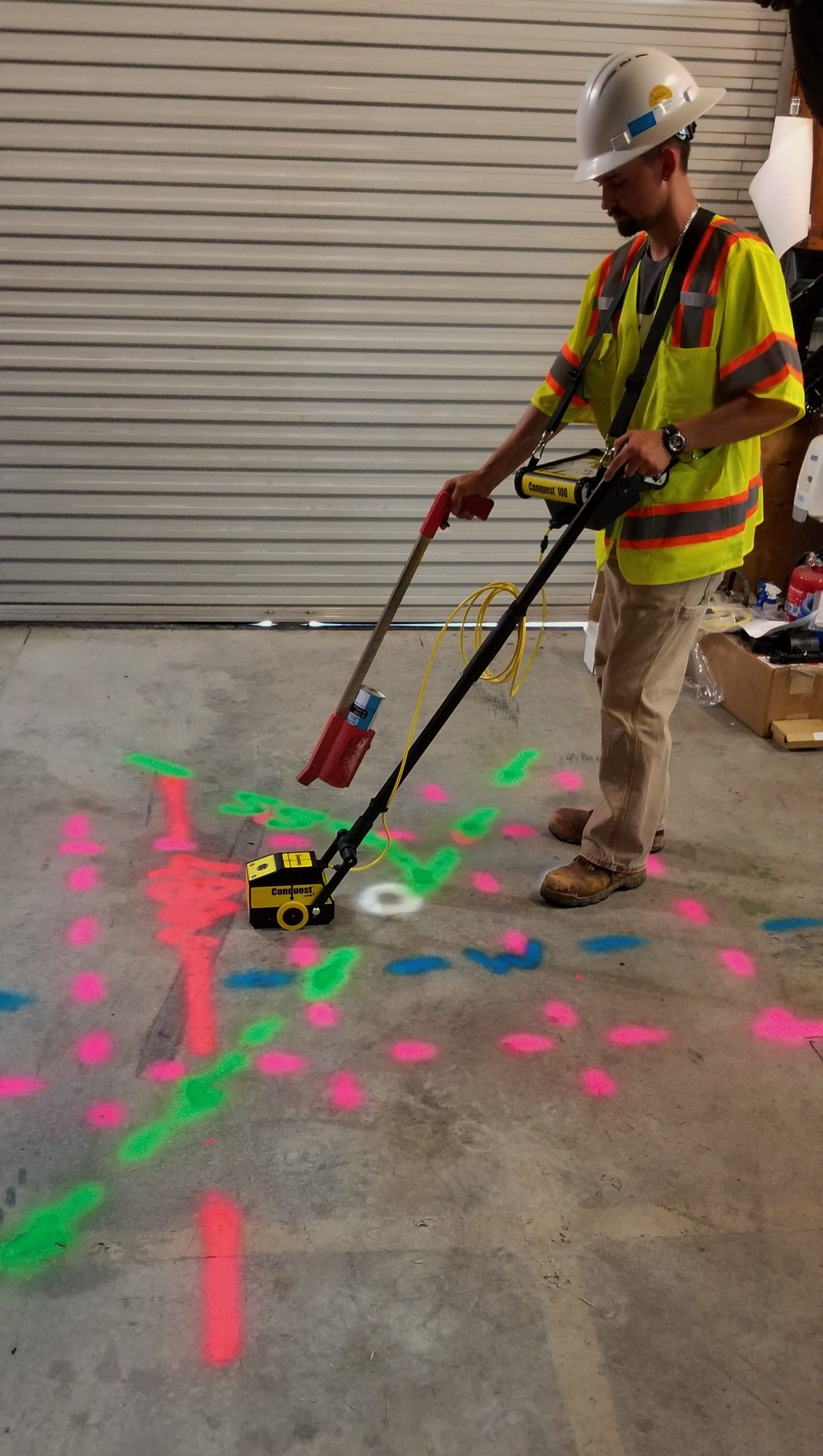
Ground-penetrating radar (GPR) is a geophysical method that uses radar pulses to image subsurface structures and detect objects buried underground. It can be used effectively for utility location, specifically to identify and map the presence of underground utilities such as pipes, cables, and conduits.
It’s important to note that GPR is most effective for locating metallic and non-metallic utilities that have contrasting properties with the surrounding soil. Factors such as soil type, moisture content, and depth of burial can affect the accuracy and detectability of GPR signals. In some cases, additional methods like electromagnetic induction or utility records may be used in conjunction with GPR to improve utility location accuracy. Professional GPR operators with experience in utility location, like us, are best suited for conducting these surveys.


